Google Street View Now Offers a Glimpse from Atop the World’s Tallest Peaks
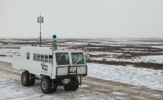
Many of us don’t get out as much as we should, but that doesn’t mean we don’t want to, and Google understands that. That’s why the company continues to add amazing destinations to its Street View repertoire; because not everybody has the time or money to visit the Grand Canyon, or go see historical sites in the arctic.
Their most recent addition to street view, however, goes further than that. Because, while some people may not be able to afford a trip to Arizona, only a handful could survive a hike up the world’s tallest mountains — and that’s where Google is taking us next.
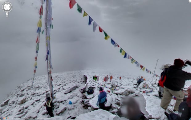
The addition comes from Google’s Mountain Enthusiast Team and comprises a visual tour of all of the world’s Seven Summits — the highest mountain on each of the seven continents. Some of the tours are shorter than others, and they only got to Everest’s base camp, but all of the images are worth a look.
Below we have, in order, Mount Elbrus in Russia, Mount Aconcagua in Argentina, the Uhuru peak of Kilimanjaro in Tanzania, Kala Pattar in Nepal, and Everest’s South Base Camp:
View Larger Map
View Larger Map
View Larger Map
View Larger Map
View Larger Map
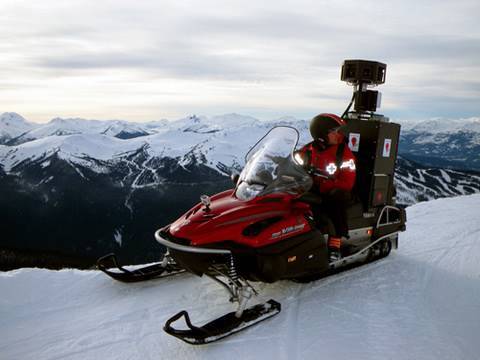
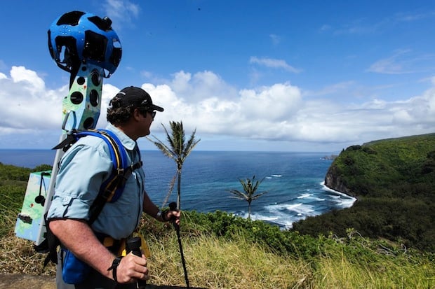
The teams that scaled each peak were led by Google’s Dan Fredinburg, who is a mountaineer by day and technical program manager for security and privacy by night. Because scaling mountains is no easy feat, they weren’t able to take the Trekker backpack used in the Grand Canyon, and had to settle instead for a Canon 7D (if the strap in one of the photos is accurate) and a lightweight tripod.
Still, even without the 75-megapixel Trekker, the photos came out incredibly well. Now even the couch potatoes among us can say they’ve scaled Seven Summits … sort of.