A Crowdsourced Photographic Map of the World through Time

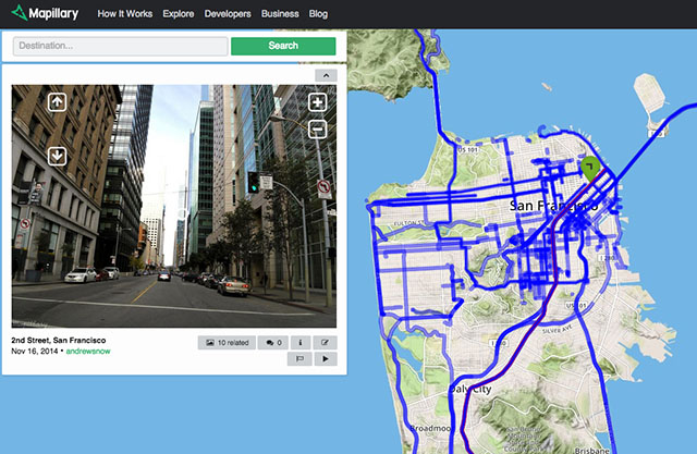
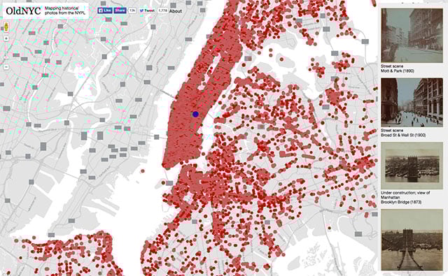
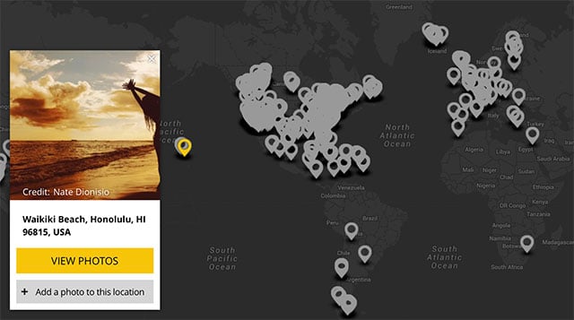
Google Street View is neat in that it allows you to step into far away places through street-level photographs, but it’s missing the fourth dimension: time. WhatWasThere is an awesome project that aims to combine the element of time with a photographic map of the world. The map includes both modern day and historical imagery, and users can contribute their photographs by tagging them with a date and a time. The site even lets you switch to Google’s Street View and overlay historical photos onto their present day images!
Related Articles

Discussion